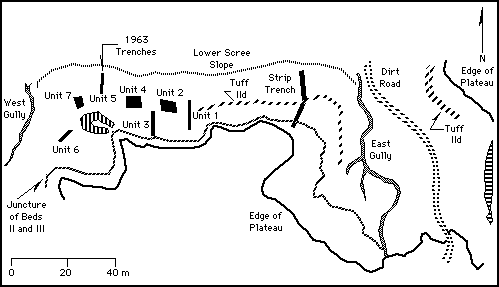

This map page is a large scale plan drawing of the area of Site BK at Olduvai Gorge. A number of large units and trenches were excavated at this locality, none of which have been exhaustively described. You can navigate to additional information about this site by choosing a location from the "Go To:" pop-up menu below. You can also use the pop-up to return to the Master Map to look for more sites.
Plan Map - BK Site Model